Welcome to ATROBOT: Your Gateway to Geospatial Innovation
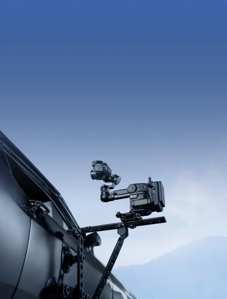
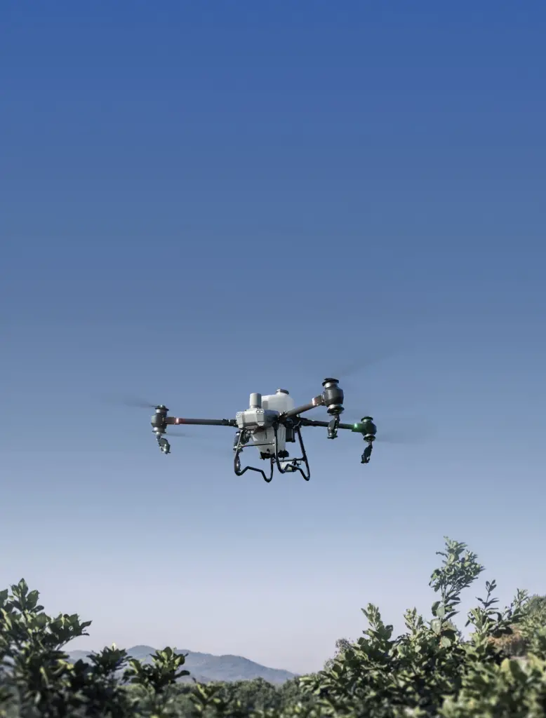
Atrobot is your trusted partner in advanced geospatial solutions, offering top-tier survey technologies and drone-based services for a range of industries, including mining, telecom, powerline infrastructure, and large-scale mapping.
At Atrobot, we are dedicated to leveraging cutting-edge drone technology to transform industries such as mining, telecom, and agriculture. Our team of passionate innovators and problem solvers work tirelessly to provide high-precision surveys, efficient powerline mapping solutions, and a variety of other geospatial services. Our cloud-based platform ensures that our clients receive reliable data and analysis quickly, helping them to complete their projects on time and with unmatched accuracy.